L.O. Griffith
Surprising beauty
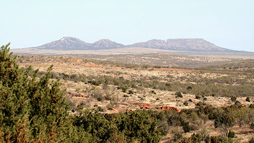
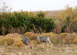
The Brazos River Canyonlands area continues today to be much as it was when the Apaches and then the Comanches made their camps and raised their tepees on the rims of the canyons and scouted from the tops of the tableland mountains. Wildlife has returned in abundance. Large Whitetail and Mule deer, Rio Grande Turkey, and Bobwhite Quail once again fill this unique habitat.
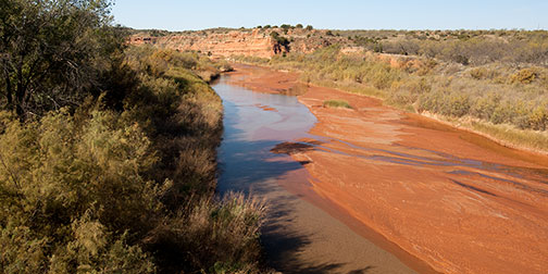
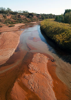
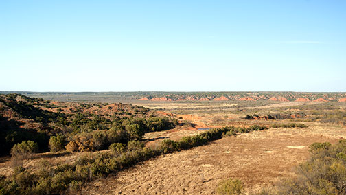
View of the Double Mountain Fork of the Brazos River
View of the Double Mountain Fork of the Brazos River
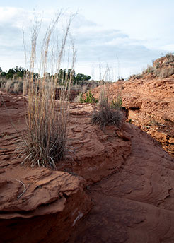
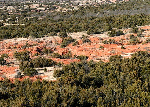
Blue Stem thriving in arid landscape of Impossible Canyon
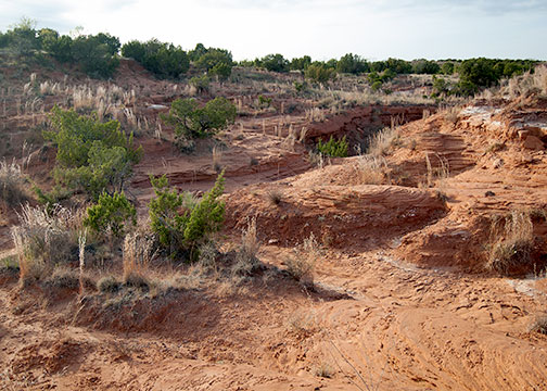
Rugged topography in Impossible Canyon evoke images of a rough and rutted badland
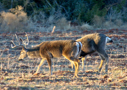
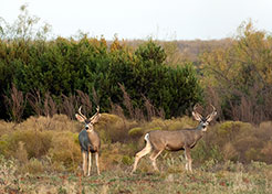
Large eight-point Boone-and-Crockett candidate grazes along side a large Muley in open meadow
Rand McNally & Co.
1882 Railroad and County Map of Texas
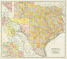
The Brazos River Canyonlands lie within Scurry, Kent, Fisher County and Stonewall County, straddling the 100th Meridian.
To see details from this beautifully illustrated map from 1882, you can use the following links:
Description-forrest_armke_20080117_249
Double Mountain Fork of the Brazos River cutting through Longhorn Valley